The Real Bottleneck in Economic Development RFIs
The hidden coordination problem behind economic development RFIs.
When companies are making location decisions, they send communities RFIs asking for detailed site information.
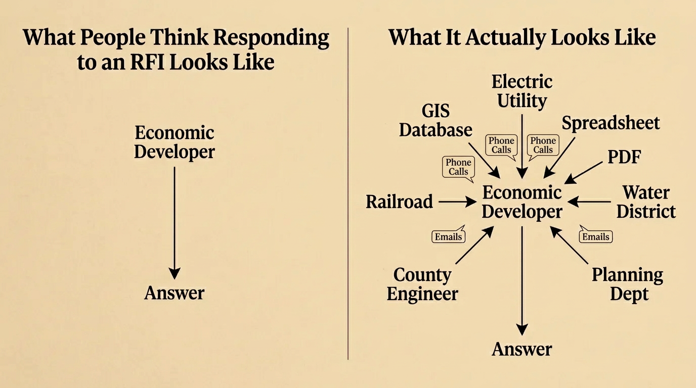
From the outside, people often imagine economic developers digging through GIS systems, spreadsheets, PDFs, and utility maps to assemble those answers.
Sometimes that happens.
But more often the real process looks like this.
The economic developer starts making calls.
- They call the electric utility.
- They call the water district.
- They email the railroad.
- They ask the county engineer.
- They check with planning.
- Then they wait for someone to send a map, a spreadsheet, or a PDF.
The problem isn’t that the data doesn’t exist.
The problem is that the data lives in different systems and different organizations.
RFIs become a coordination exercise. A chain of emails and phone calls moving across agencies, utilities, and departments. Each link adds delay.
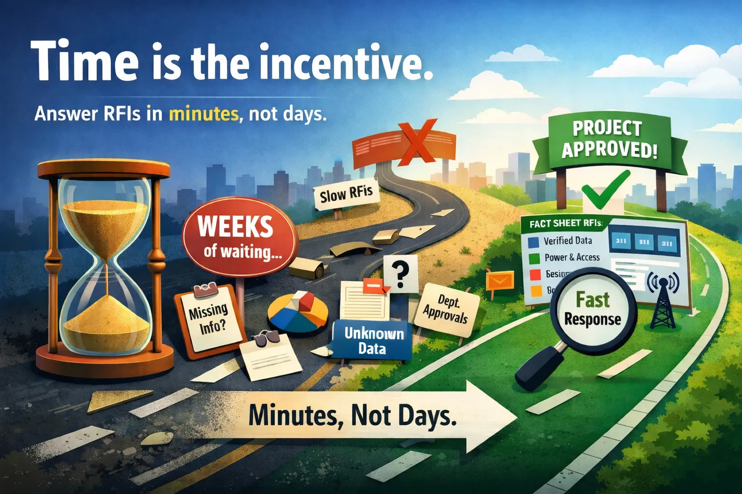
Meanwhile the deadline is getting closer.
Sitehunt changes that dynamic.
Instead of waiting for answers, Sitehunt analyzes millions of GIS layers and infrastructure datasets to generate structured site profiles and answer many RFI questions automatically.
What used to take days of coordination can now happen in minutes.
And in economic development, the communities that respond fastest often get the project.
The next time a project RFI lands in your inbox, the clock will already be ticking. See how Sitehunt helps communities respond faster.

Econ Dev Show Newsletter
Join the newsletter to receive the latest updates in your inbox.

